
학급 수업 자료 · Pico Duarte · 🇩🇴 Dominican Republic

Pico Duarte

The highest peak in the whole Caribbean

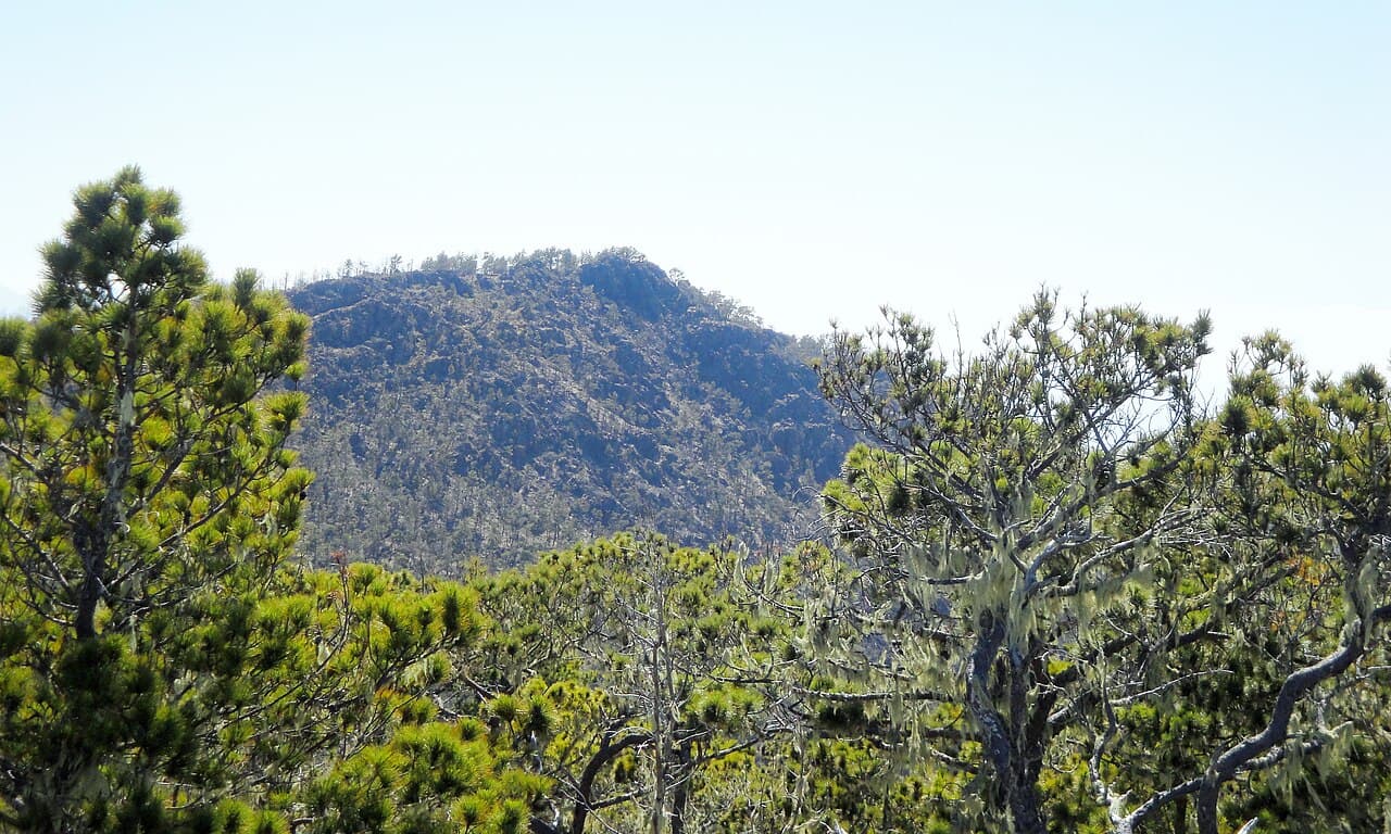
The rocky summit of Pico Duarte rising above pine forest and clouds

Photo · Wikimedia Commons

무엇인가요?

Pico Duarte is the tallest mountain in the Caribbean - that means no island from Cuba to Trinidad has a mountain that reaches higher. It stands 3,098 metres above the sea, so the top is often hidden by clouds and the air there feels cool and thin.

더 알려주세요

The mountain sits in the Cordillera Central, a range of mountains that runs right through the middle of the Dominican Republic. From the summit on a clear day, hikers can see across the whole island of Hispaniola.

Near the top the trees change from tropical forest to pine trees, almost like travelling to a different country as you climb. Hikers often spot wild orchids, colourful birds and tiny frogs on the lower slopes.

The journey to the top takes most groups two to three days of hiking along mountain trails. Mules carry heavy bags and camping gear, and guides lead the way through the forest.

Because Pico Duarte is so tall, it catches rain clouds from both the north and south coasts. That rain flows down into rivers that supply fresh water to towns and farms across the whole country.

교실에서는

15분 안에 학급과 함께 살펴보세요.

함께 이야기해 보기

토론 질문

  1. 01Why do you think it gets colder as you go higher up a mountain, even in a hot country?
  2. 02How would you pack differently for a two-day mountain hike compared to a day at the beach?
  3. 03Why is a mountain that catches rain so important for the people who live below it?
해보기

학급 활동

Draw a cross-section of Pico Duarte from sea level to the top. Label the zone of palm trees, the zone of tropical forest, the zone of pine trees, and the rocky summit. Add weather symbols to show where rain clouds gather.

Dominican Republic에 대해 더 알아보기

Dominican Republic을(를) 특별하게 만드는 다른 것들

우리 학급이 Dominican Republic과(와) 만나길 원하시나요?

등록할 때 Dominican Republic을(를) 선택하시면 시간대 가능성을 보여드립니다.

Register your classroom